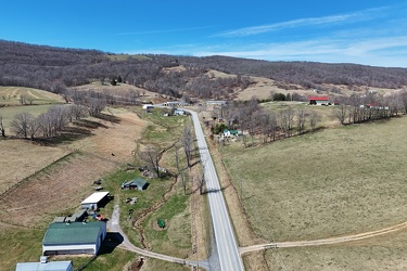
-
South River in Waynesboro
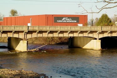
-
Directional signage at the end of the ramp for Interstate 64, Exit 99 at Rockfish Gap
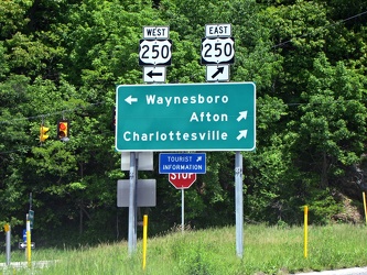
-
Broad Street bridge
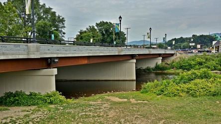
-
Interstate 64 in Nelson County, Virginia [01]
![Interstate 64 in Nelson County, Virginia [01] (10770 visits) Interstate 64 in Nelson County, Virginia, near Rockfish Gap. US 250 runs adjacent to the freeway.
... Interstate 64 in Nelson County, Virginia [01]](../../../i/upload/2024/07/19/20240719115200-c8a2ce39-cu_s9999x250.jpg)
-
Interstate 64 in Nelson County, Virginia [02]
![Interstate 64 in Nelson County, Virginia [02] (10932 visits) Interstate 64 in Nelson County, Virginia, near Rockfish Gap. US 250 runs adjacent to the freeway.
... Interstate 64 in Nelson County, Virginia [02]](../../../i/upload/2024/07/19/20240719115847-184fa12a-cu_s9999x250.jpg)
-
Interstate 64 in Nelson County, Virginia [03]
![Interstate 64 in Nelson County, Virginia [03] (11111 visits) Interstate 64 in Nelson County, Virginia, near Rockfish Gap. US 250 runs adjacent to the freeway.
... Interstate 64 in Nelson County, Virginia [03]](../../../i/upload/2024/07/19/20240719115902-ff5fb9e1-cu_s9999x250.jpg)
-
Interstate 64 near Rockfish Gap [01]
![Interstate 64 near Rockfish Gap [01] (66100 visits) Interstate 64, near Rockfish Gap in Virginia.
Ben Schumin is a professional photographer who captur... Interstate 64 near Rockfish Gap [01]](../../../i/upload/2024/07/19/20240719120555-d0d3c2ce-cu_s9999x250.jpg)
-
Interstate 64 near Rockfish Gap [02]
![Interstate 64 near Rockfish Gap [02] (3099 visits) Interstate 64, near Rockfish Gap in Virginia. The bridge in the foreground carries Skyline Drive ov... Interstate 64 near Rockfish Gap [02]](../../../i/upload/2024/07/19/20240719120604-e2ad25dd-cu_s9999x250.jpg)
-
Interstate 64 near Rockfish Gap [03]
![Interstate 64 near Rockfish Gap [03] (3111 visits) Interstate 64, near Rockfish Gap in Virginia. The bridge in the foreground carries Skyline Drive ov... Interstate 64 near Rockfish Gap [03]](../../../i/upload/2024/07/19/20240719120613-6e2190f6-cu_s9999x250.jpg)
-
Interstate 64 near Rockfish Gap [04]
![Interstate 64 near Rockfish Gap [04] (3097 visits) Interstate 64, near Rockfish Gap in Virginia. The bridge in the foreground carries Skyline Drive ov... Interstate 64 near Rockfish Gap [04]](../../../i/upload/2024/07/19/20240719120620-49d9b327-cu_s9999x250.jpg)
-
Interstate 64 near Rockfish Gap [05]
![Interstate 64 near Rockfish Gap [05] (10905 visits) Interstate 64, near Rockfish Gap in Virginia. The boundary between Augusta and Nelson Counties runs... Interstate 64 near Rockfish Gap [05]](../../../i/upload/2024/07/19/20240719120629-90e00218-cu_s9999x250.jpg)
-
Richmond Avenue in Staunton, Virginia [01]
![Richmond Avenue in Staunton, Virginia [01] (66940 visits) Aerial view of Richmond Avenue (US 250) in Staunton, Virginia, near the intersection with Frontier D... Richmond Avenue in Staunton, Virginia [01]](../../../i/upload/2024/07/19/20240719161158-ddf9fe35-cu_s9999x250.jpg)
-
Richmond Avenue in Staunton, Virginia [02]
![Richmond Avenue in Staunton, Virginia [02] (67037 visits) Aerial view of Richmond Avenue (US 250) in Staunton, Virginia, near the intersection with Frontier D... Richmond Avenue in Staunton, Virginia [02]](../../../i/upload/2024/07/19/20240719161203-233bb776-cu_s9999x250.jpg)
-
Richmond Avenue in Staunton, Virginia [03]
![Richmond Avenue in Staunton, Virginia [03] (66849 visits) Aerial view of Richmond Avenue (US 250) in Staunton, Virginia, near the intersection with Community ... Richmond Avenue in Staunton, Virginia [03]](../../../i/upload/2024/07/19/20240719161212-297c1b53-cu_s9999x250.jpg)
-
West Broad Street in Waynesboro, Virginia
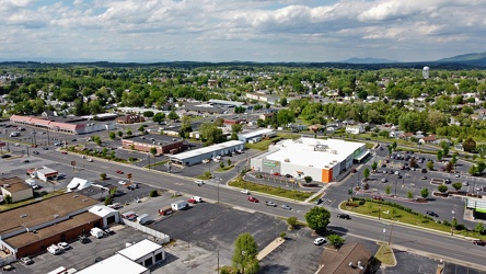
-
West Main and West Broad Streets in downtown Waynesboro
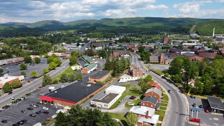
-
US 250 at the west end of Waynesboro, Virginia
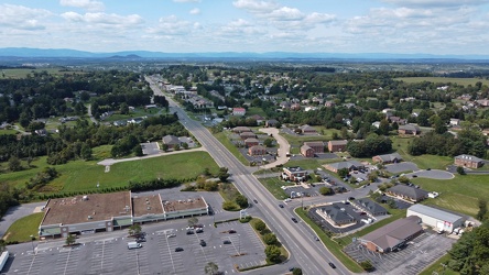
-
Waynesboro, Virginia, facing approximately east
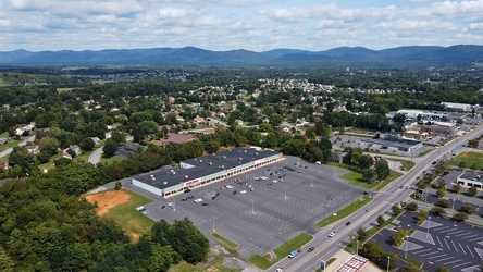
-
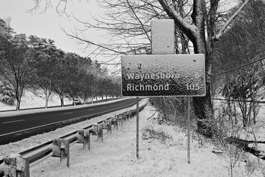
Snow-covered mileage sign on US 250
-
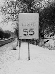
Snow-covered speed limit sign on US 250
-
West Broad Street at Staples Mill Road [01]
![West Broad Street at Staples Mill Road [01] (3461 visits) Aerial view of West Broad Street at the intersection with Staples Mill Road in Richmond, Virginia. ... West Broad Street at Staples Mill Road [01]](../../../i/upload/2024/07/20/20240720091824-c8526d69-cu_s9999x250.jpg)
-
West Broad Street at Staples Mill Road [02]
![West Broad Street at Staples Mill Road [02] (70221 visits) Aerial view of West Broad Street at the intersection with Staples Mill Road in Richmond, Virginia. ... West Broad Street at Staples Mill Road [02]](../../../i/upload/2024/07/20/20240720092012-1df12de7-cu_s9999x250.jpg)
-
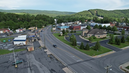
East Broad Street near East Avenue
-
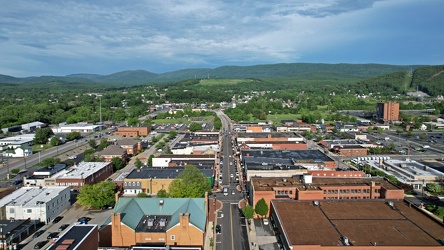
Downtown Waynesboro, facing east
-
Bottle cap embedded in gravel [02]
![Bottle cap embedded in gravel [02] (1808 visits) Bottle cap embedded in the gravel in the parking lot of the Fort Edward Johnson wayside along US 250... Bottle cap embedded in gravel [02]](../../../i/upload/2024/07/20/20240720093935-e8bfbf5c-cu_s9999x250.jpg)
-
Sign at the border between Augusta and Highland Counties [03]
![Sign at the border between Augusta and Highland Counties [03] (2860 visits) Sign along US 250 at the border between Augusta and Highland Counties in Virginia. The sign is of t... Sign at the border between Augusta and Highland Counties [03]](../../../i/upload/2024/07/20/20240720093939-e9041290-cu_s9999x250.jpg)
-
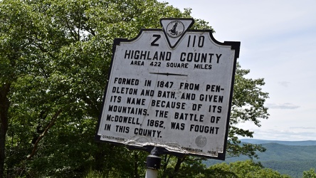
Historical marker for Highland County on US 250
-
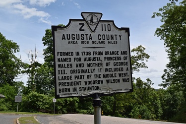
Historical marker for Augusta County on US 250
-
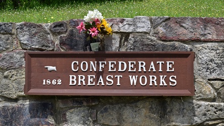
Confederate Breastworks sign
-
Sign at the border between Augusta and Highland Counties [02]
![Sign at the border between Augusta and Highland Counties [02] (2783 visits) Sign along US 250 at the border between Augusta and Highland Counties in Virginia. The sign is stan... Sign at the border between Augusta and Highland Counties [02]](../../../i/upload/2024/07/20/20240720094001-d7689782-cu_s9999x250.jpg)
-
Bottle cap embedded in gravel [01]
![Bottle cap embedded in gravel [01] (1492 visits) Bottle cap embedded in the gravel in the parking lot of the Fort Edward Johnson wayside along US 250... Bottle cap embedded in gravel [01]](../../../i/upload/2024/07/20/20240720094006-f13f59c7-cu_s9999x250.jpg)
-
Sign at the border between Augusta and Highland Counties [01]
![Sign at the border between Augusta and Highland Counties [01] (2943 visits) Sign along US 250 at the border between Augusta and Highland Counties in Virginia. The sign is stan... Sign at the border between Augusta and Highland Counties [01]](../../../i/upload/2024/07/20/20240720094015-efe93712-cu_s9999x250.jpg)
-
"Littering is illegal" sign [02]
!["Littering is illegal" sign [02] (3191 visits) Sign along US 250 at the border between Augusta and Highland Counties in Virginia, reminding drivers... "Littering is illegal" sign [02]](../../../i/upload/2024/07/20/20240720094020-cdd34053-cu_s9999x250.jpg)
-
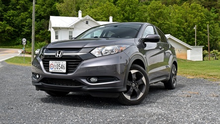
Honda HR-V in Head Waters, Virginia
-
Hairpin turn on US 250 [01]
![Hairpin turn on US 250 [01] (3025 visits) Hairpin turn on US 250 in Highland County, Virginia, as it ascends Shenandoah Mountain.
Ben Schumin... Hairpin turn on US 250 [01]](../../../i/upload/2024/07/20/20240720094126-511d5875-cu_s9999x250.jpg)
-
Hairpin turn on US 250 [02]
![Hairpin turn on US 250 [02] (3073 visits) Hairpin turn on US 250 in Highland County, Virginia, as it ascends Shenandoah Mountain.
Ben Schumin... Hairpin turn on US 250 [02]](../../../i/upload/2024/07/20/20240720094131-dc588684-cu_s9999x250.jpg)
-
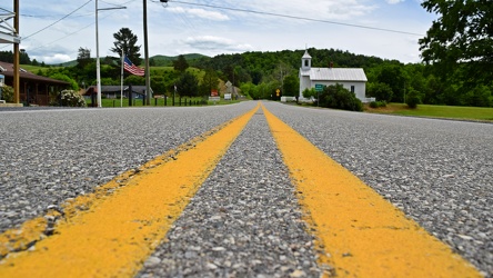
US 250 in Head Waters, Virginia
-
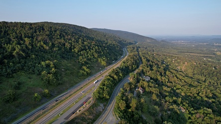
Interstate 64 east of Rockfish Gap
-
Woodrow Wilson Parkway at Churchville Avenue [01]
![Woodrow Wilson Parkway at Churchville Avenue [01] (2322 visits) State Route 262 (Woodrow Wilson Parkway) at the interchange with US 250 (Churchville Avenue) in Stau... Woodrow Wilson Parkway at Churchville Avenue [01]](../../../i/upload/2024/11/26/20241126004148-6fb2b2e4-cu_s9999x250.jpg)
-
Woodrow Wilson Parkway at Churchville Avenue [02]
![Woodrow Wilson Parkway at Churchville Avenue [02] (2325 visits) State Route 262 (Woodrow Wilson Parkway) at the interchange with US 250 (Churchville Avenue) in Stau... Woodrow Wilson Parkway at Churchville Avenue [02]](../../../i/upload/2024/11/26/20241126004154-6decce28-cu_s9999x250.jpg)
-
Woodrow Wilson Parkway at Churchville Avenue [03]
![Woodrow Wilson Parkway at Churchville Avenue [03] (2368 visits) State Route 262 (Woodrow Wilson Parkway) at the interchange with US 250 (Churchville Avenue) in Stau... Woodrow Wilson Parkway at Churchville Avenue [03]](../../../i/upload/2024/11/26/20241126004159-ac6ca342-cu_s9999x250.jpg)
-
Woodrow Wilson Parkway at Churchville Avenue [04]
![Woodrow Wilson Parkway at Churchville Avenue [04] (2300 visits) State Route 262 (Woodrow Wilson Parkway) at the interchange with US 250 (Churchville Avenue) in Stau... Woodrow Wilson Parkway at Churchville Avenue [04]](../../../i/upload/2024/11/26/20241126004205-1752c829-cu_s9999x250.jpg)
-
Woodrow Wilson Parkway at Churchville Avenue [05]
![Woodrow Wilson Parkway at Churchville Avenue [05] (2344 visits) State Route 262 (Woodrow Wilson Parkway) at the interchange with US 250 (Churchville Avenue) in Stau... Woodrow Wilson Parkway at Churchville Avenue [05]](../../../i/upload/2024/11/26/20241126004211-954cdd71-cu_s9999x250.jpg)
-
Woodrow Wilson Parkway at Churchville Avenue [06]
![Woodrow Wilson Parkway at Churchville Avenue [06] (2358 visits) State Route 262 (Woodrow Wilson Parkway) at the interchange with US 250 (Churchville Avenue) in Stau... Woodrow Wilson Parkway at Churchville Avenue [06]](../../../i/upload/2024/11/26/20241126004217-db5f3f5c-cu_s9999x250.jpg)
-
Aerial view of Monterey, Virginia [01]
![Aerial view of Monterey, Virginia [01] (2136 visits) Aerial view of Monterey, Virginia, a small town comprising the seat of Highland County.
More at The... Aerial view of Monterey, Virginia [01]](../../../i/upload/2025/01/02/20250102005918-685606f9-cu_s9999x250.jpg)
-
Aerial view of Monterey, Virginia [02]
![Aerial view of Monterey, Virginia [02] (2137 visits) Aerial view of Monterey, Virginia, a small town comprising the seat of Highland County.
More at The... Aerial view of Monterey, Virginia [02]](../../../i/upload/2025/01/02/20250102005923-7f7b9b83-cu_s9999x250.jpg)
-
Aerial view of Monterey, Virginia [03]
![Aerial view of Monterey, Virginia [03] (2095 visits) Aerial view of Monterey, Virginia, a small town comprising the seat of Highland County.
More at The... Aerial view of Monterey, Virginia [03]](../../../i/upload/2025/01/02/20250102005929-2e84a9d0-cu_s9999x250.jpg)
-
Aerial view of Monterey, Virginia [04]
![Aerial view of Monterey, Virginia [04] (2095 visits) Aerial view of Monterey, Virginia, a small town comprising the seat of Highland County.
More at The... Aerial view of Monterey, Virginia [04]](../../../i/upload/2025/01/02/20250102005937-281fae65-cu_s9999x250.jpg)
-
Aerial view of Monterey, Virginia [05]
![Aerial view of Monterey, Virginia [05] (2139 visits) Aerial view of Monterey, Virginia, a small town comprising the seat of Highland County.
More at The... Aerial view of Monterey, Virginia [05]](../../../i/upload/2025/01/02/20250102005946-79efaa38-cu_s9999x250.jpg)
-
Aerial view of Monterey, Virginia [06]
![Aerial view of Monterey, Virginia [06] (2085 visits) Aerial view of Monterey, Virginia, a small town comprising the seat of Highland County.
More at The... Aerial view of Monterey, Virginia [06]](../../../i/upload/2025/01/02/20250102005956-29786301-cu_s9999x250.jpg)
-
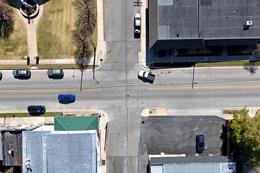
Intersection of US 250 and Spruce Street
-
US 250 west of Monterey, Virginia
