-
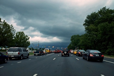
Storm clouds at Georgia Avenue and Norbeck Road
-
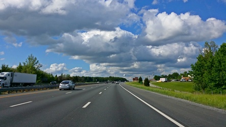
Interstate 95 near Fredericksburg
-
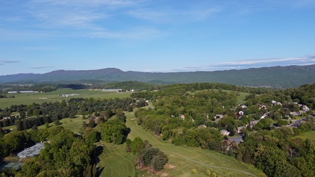
Harrisonburg east of Route 33
-
Field south of Waynesboro Town Center [02]
![Field south of Waynesboro Town Center [02] (1153 visits) Open fields south of Waynesboro Town Center, a shopping center in Waynesboro, Virginia.
Ben Schumin... Field south of Waynesboro Town Center [02]](../../../../i/upload/2024/07/19/20240719164011-bfef621f-cu_s9999x250.jpg)
-
Field south of Waynesboro Town Center [03]
![Field south of Waynesboro Town Center [03] (1159 visits) Open fields south of Waynesboro Town Center, a shopping center in Waynesboro, Virginia.
Ben Schumin... Field south of Waynesboro Town Center [03]](../../../../i/upload/2024/07/19/20240719164113-3872f41a-cu_s9999x250.jpg)
-
Field south of Waynesboro Town Center [01]
![Field south of Waynesboro Town Center [01] (1201 visits) Open fields south of Waynesboro Town Center, a shopping center in Waynesboro, Virginia.
Ben Schumin... Field south of Waynesboro Town Center [01]](../../../../i/upload/2024/07/19/20240719164131-8c6e4a64-cu_s9999x250.jpg)
-
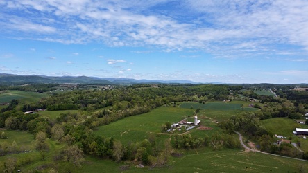
Churchville, Virginia, facing northeast
-
Hewitt Road and Parkersburg Turnpike
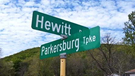
-
Buffalo Gap [01]
![Buffalo Gap [01] (1759 visits) Buffalo Gap, a mountain pass through Little North Mountain, near Swoope, Virginia.
Ben Schumin is... Buffalo Gap [01]](../../../../i/upload/2024/07/19/20240719164455-62064f1c-cu_s9999x250.jpg)
-
Pelham neighborhood in Waynesboro, Virginia
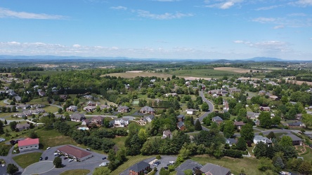
-
Storm at New Carrollton station [01]
![Storm at New Carrollton station [01] (2991 visits) A thunderstorm arrives at the New Carrollton Metro station in Prince George's County, Maryland. Thi... Storm at New Carrollton station [01]](../../../../i/upload/2024/07/20/20240720093653-9243335f-cu_s9999x250.jpg)
-
Storm at New Carrollton station [02]
![Storm at New Carrollton station [02] (3352 visits) A thunderstorm arrives at the New Carrollton Metro station in Prince George's County, Maryland. Thi... Storm at New Carrollton station [02]](../../../../i/upload/2024/07/20/20240720093657-627b661e-cu_s9999x250.jpg)
-
Storm at New Carrollton station [03]
![Storm at New Carrollton station [03] (3253 visits) A thunderstorm arrives at the New Carrollton Metro station in Prince George's County, Maryland. Thi... Storm at New Carrollton station [03]](../../../../i/upload/2024/07/20/20240720093702-138c9e1c-cu_s9999x250.jpg)
-
Aerial view of Smithsburg, Maryland [01]
![Aerial view of Smithsburg, Maryland [01] (1127 visits) Aerial view of Smithsburg, Maryland.
Ben Schumin is a professional photographer who captures the in... Aerial view of Smithsburg, Maryland [01]](../../../../i/upload/2024/07/20/20240720155756-7d354d6c-cu_s9999x250.jpg)
-
Aerial view of Smithsburg, Maryland [02]
![Aerial view of Smithsburg, Maryland [02] (1242 visits) Aerial view of Smithsburg, Maryland.
Ben Schumin is a professional photographer who captures the in... Aerial view of Smithsburg, Maryland [02]](../../../../i/upload/2024/07/20/20240720155800-cb15da92-cu_s9999x250.jpg)
-
Aerial view of Smithsburg, Maryland [03]
![Aerial view of Smithsburg, Maryland [03] (1037 visits) Aerial view of Smithsburg, Maryland.
Ben Schumin is a professional photographer who captures the in... Aerial view of Smithsburg, Maryland [03]](../../../../i/upload/2024/07/20/20240720155805-a9f3e7ed-cu_s9999x250.jpg)
-
Osprey nesting on a cell tower
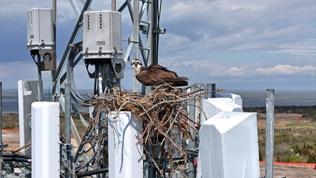
-
Southernmost point in New Jersey
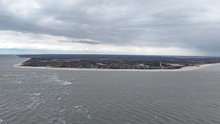
-
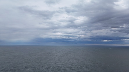
View out over the Delaware Bay
-
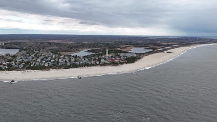
Coral Beach
-
Smokestacks at Chambersburg Power Plant [01]
![Smokestacks at Chambersburg Power Plant [01] (784 visits) Smokestacks at the Borough of Chambersburg Power Plant at 160 North Second Street in Chambersburg, P... Smokestacks at Chambersburg Power Plant [01]](../../../../i/upload/2025/02/06/20250206191729-b1f1e00a-cu_s9999x250.jpg)
-
Smokestacks at Chambersburg Power Plant [02]
![Smokestacks at Chambersburg Power Plant [02] (712 visits) Smokestacks at the Borough of Chambersburg Power Plant at 160 North Second Street in Chambersburg, P... Smokestacks at Chambersburg Power Plant [02]](../../../../i/upload/2025/02/06/20250206191742-69a0a809-cu_s9999x250.jpg)
-
Smokestacks at Chambersburg Power Plant [03]
![Smokestacks at Chambersburg Power Plant [03] (727 visits) Smokestacks at the Borough of Chambersburg Power Plant at 160 North Second Street in Chambersburg, P... Smokestacks at Chambersburg Power Plant [03]](../../../../i/upload/2025/02/06/20250206191752-4c59592f-cu_s9999x250.jpg)
-
Area around US 13 in Pocomoke City, Maryland [01]
![Area around US 13 in Pocomoke City, Maryland [01] (366 visits) Aerial view of an area around US 13 in Pocomoke City, Maryland in late afternoon.
More at The Schum... Area around US 13 in Pocomoke City, Maryland [01]](../../../../i/upload/2025/02/16/20250216104958-9cfd679e-cu_s9999x250.jpg)
-
Area around US 13 in Pocomoke City, Maryland [02]
![Area around US 13 in Pocomoke City, Maryland [02] (351 visits) Aerial view of an area around US 13 in Pocomoke City, Maryland in late afternoon.
More at The Schum... Area around US 13 in Pocomoke City, Maryland [02]](../../../../i/upload/2025/02/16/20250216105020-45970493-cu_s9999x250.jpg)