-
Roanoke from above Main Street SW

-
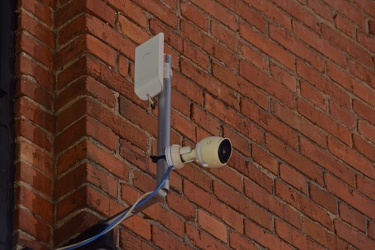
11-foot-8 camera
-
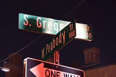
Street signs for South Gregson Street and West Peabody Street
-
12'4" low clearance warning sign [01]
![12'4" low clearance warning sign [01] (2062 visits) Low clearance sign warning drivers of the bridge's low height of only 12'4". Until 2019, this ... 12'4" low clearance warning sign [01]](../../../../i/upload/2025/01/16/20250116015525-4456e6dc-cu_s9999x250.jpg)
-
12'4" low clearance warning sign [02]
![12'4" low clearance warning sign [02] (7596 visits) Low clearance sign warning drivers of the bridge's low height of only 12'4". Until 2019, this ... 12'4" low clearance warning sign [02]](../../../../i/upload/2025/01/16/20250116015531-9494d592-cu_s9999x250.jpg)
-
Norfolk Southern Gregson Street Overpass [02]
![Norfolk Southern Gregson Street Overpass [02] (7401 visits) Norfolk Southern railroad bridge over South Gregson Street near West Peabody Street in downtown Durh... Norfolk Southern Gregson Street Overpass [02]](../../../../i/upload/2025/01/16/20250116015518-558656fc-cu_s9999x250.jpg)
-
Norfolk Southern Gregson Street Overpass [01]
![Norfolk Southern Gregson Street Overpass [01] (7229 visits) Norfolk Southern railroad bridge over South Gregson Street near West Peabody Street in downtown Durh... Norfolk Southern Gregson Street Overpass [01]](../../../../i/upload/2025/01/16/20250116015512-a5790518-cu_s9999x250.jpg)
-
Intersection of Western Avenue, West Summit Hill Drive, Henley Street, and Broadway [03]
![Intersection of Western Avenue, West Summit Hill Drive, Henley Street, and Broadway [03] (1327 visits) The intersection of Western Avenue, West Summit Hill Drive, Henley Street, and Broadway, viewed from... Intersection of Western Avenue, West Summit Hill Drive, Henley Street, and Broadway [03]](../../../../i/upload/2024/07/20/20240720114058-5a0ed76f-cu_s9999x250.jpg)
-
Intersection of Western Avenue, West Summit Hill Drive, Henley Street, and Broadway [02]
![Intersection of Western Avenue, West Summit Hill Drive, Henley Street, and Broadway [02] (1211 visits) The intersection of Western Avenue, West Summit Hill Drive, Henley Street, and Broadway, viewed from... Intersection of Western Avenue, West Summit Hill Drive, Henley Street, and Broadway [02]](../../../../i/upload/2024/07/20/20240720113032-4b45897b-cu_s9999x250.jpg)
-
Intersection of Western Avenue, West Summit Hill Drive, Henley Street, and Broadway [01]
![Intersection of Western Avenue, West Summit Hill Drive, Henley Street, and Broadway [01] (1445 visits) The intersection of Western Avenue, West Summit Hill Drive, Henley Street, and Broadway, viewed from... Intersection of Western Avenue, West Summit Hill Drive, Henley Street, and Broadway [01]](../../../../i/upload/2024/07/20/20240720113048-94cc1968-cu_s9999x250.jpg)
-
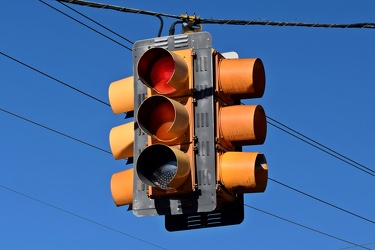
Traffic signal at 4th and West Street
-
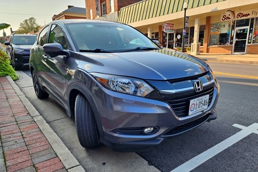
Honda HR-V in downtown Waynesboro
-
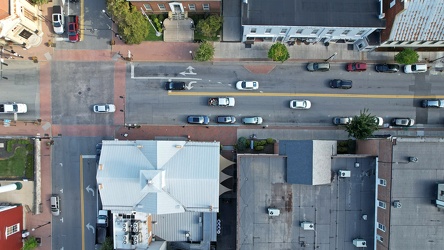
West Washington Street in downtown Charles Town
-
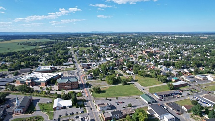
Aerial view of Charles Town and Ranson, West Virginia
-
Aerial view of Charles Town, West Virginia [03]
![Aerial view of Charles Town, West Virginia [03] (2627 visits) Aerial view of Charles Town, West Virginia, from above the downtown area.
Ben Schumin is a professi... Aerial view of Charles Town, West Virginia [03]](../../../../i/upload/2024/07/20/20240720104008-7857c00b-cu_s9999x250.jpg)
-
Aerial view of Charles Town, West Virginia [01]
![Aerial view of Charles Town, West Virginia [01] (1781 visits) Aerial view of Charles Town, West Virginia, from above the downtown area.
Ben Schumin is a professi... Aerial view of Charles Town, West Virginia [01]](../../../../i/upload/2024/07/20/20240720103949-f4346f4c-cu_s9999x250.jpg)
-
Aerial view of Charles Town, West Virginia [02]
![Aerial view of Charles Town, West Virginia [02] (1630 visits) Aerial view of Charles Town, West Virginia, from above the downtown area.
Ben Schumin is a professi... Aerial view of Charles Town, West Virginia [02]](../../../../i/upload/2024/07/20/20240720104018-5b8b2fcf-cu_s9999x250.jpg)
-
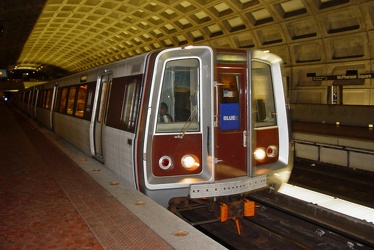
Blue Line train arrives at McPherson Square station
-
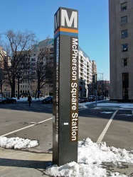
McPherson square station entrance pylon
-
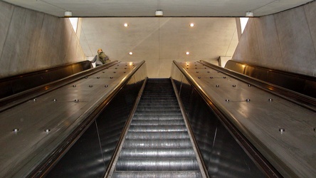
Escalators at McPherson Square, Vermont Avenue entrance
-
Sign at the border between Augusta and Highland Counties [01]
![Sign at the border between Augusta and Highland Counties [01] (2916 visits) Sign along US 250 at the border between Augusta and Highland Counties in Virginia. The sign is stan... Sign at the border between Augusta and Highland Counties [01]](../../../../i/upload/2024/07/20/20240720094015-efe93712-cu_s9999x250.jpg)
-
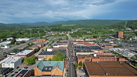
Downtown Waynesboro, facing east
-
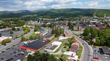
West Main and West Broad Streets in downtown Waynesboro
-
Shield for State Route 254 [02]
![Shield for State Route 254 [02] (1387 visits) Shield for State Route 254 on West Frederick Street in downtown Staunton, Virginia. This style of s... Shield for State Route 254 [02]](../../../../i/upload/2024/07/19/20240719160516-e72119d6-cu_s9999x250.jpg)
-
Shield for State Route 254 [01]
![Shield for State Route 254 [01] (1375 visits) Shield for State Route 254 on West Frederick Street in downtown Staunton, Virginia. This style of s... Shield for State Route 254 [01]](../../../../i/upload/2024/07/19/20240719160500-1fdaedc1-cu_s9999x250.jpg)
-
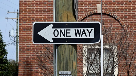
One way sign on West Frederick Street
-
"DO NOT ENTER" sign on North Central Avenue [02]
!["DO NOT ENTER" sign on North Central Avenue [02] (1249 visits) "DO NOT ENTER" sign at the intersection of North Central Avenue and West Johnson Street in... "DO NOT ENTER" sign on North Central Avenue [02]](../../../../i/upload/2024/07/19/20240719120026-21151527-cu_s9999x250.jpg)
-
"DO NOT ENTER" sign on North Central Avenue [01]
!["DO NOT ENTER" sign on North Central Avenue [01] (1246 visits) "DO NOT ENTER" sign at the intersection of North Central Avenue and West Johnson Street in... "DO NOT ENTER" sign on North Central Avenue [01]](../../../../i/upload/2024/07/19/20240719120016-255808e6-cu_s9999x250.jpg)
-
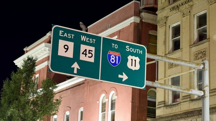
Overhead sign over South Queen Street
-
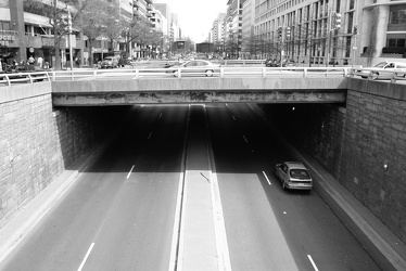
K Street under Washington Circle
-
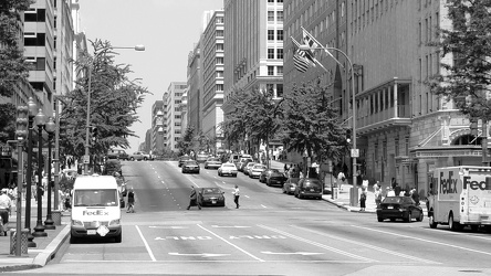
500 block of 13th Street NW
-
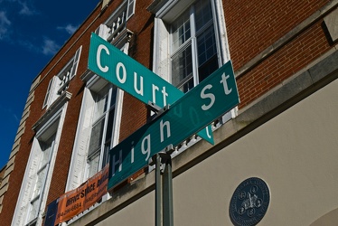
Court and High Streets
