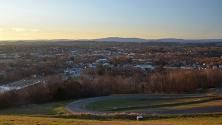
-
Chicago as viewed from the John Hancock Center [02]
![Chicago as viewed from the John Hancock Center [02] (2726 visits) The city of Chicago, Illinois as viewed from the observation deck of the John Hancock Center. This ... Chicago as viewed from the John Hancock Center [02]](../../../i/upload/2024/07/16/20240716232629-e9b87840-cu_s9999x250.jpg)
-
View from John Hancock Center, facing southwest
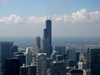
-
View from John Hancock Center, facing northwest
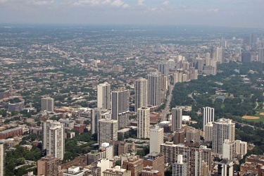
-
Sandy Point State Park [59]
![Sandy Point State Park [59] (3194 visits) Sandy Point State Park is a public park located on the western shore of the Chesapeake Bay, at the f... Sandy Point State Park [59]](../../../i/upload/2024/07/17/20240717153922-2801decd-cu_s9999x250.jpg)
-
Sandy Point State Park [43]
![Sandy Point State Park [43] (2972 visits) Sandy Point State Park is a public park located on the western shore of the Chesapeake Bay, at the f... Sandy Point State Park [43]](../../../i/upload/2024/07/17/20240717154135-92bb84b6-cu_s9999x250.jpg)
 M. Carl Andrews Overlook [01]
![M. Carl Andrews Overlook [01] (3843 visits) The M. Carl Andrews Overlook, at Mill Mountain Park in Roanoke, Virginia. The Roanoke Star is locat... M. Carl Andrews Overlook [01]](../../../i/upload/2024/07/17/20240717233104-18c6ba6a-cu_s9999x250.jpg)
 M. Carl Andrews Overlook [02]
![M. Carl Andrews Overlook [02] (3891 visits) The M. Carl Andrews Overlook, at Mill Mountain Park in Roanoke, Virginia. The Roanoke Star is locat... M. Carl Andrews Overlook [02]](../../../i/upload/2024/07/17/20240717233109-73899e0e-cu_s9999x250.jpg)
 Parking area behind the Roanoke Star
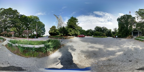
 M. Carl Andrews Overlook at night [01]
![M. Carl Andrews Overlook at night [01] (4233 visits) The M. Carl Andrews Overlook at Mill Mountain Park in Roanoke, Virginia, at night. The Roanoke Star... M. Carl Andrews Overlook at night [01]](../../../i/upload/2024/07/17/20240717233141-45aa31b5-cu_s9999x250.jpg)
 M. Carl Andrews Overlook at night [02]
![M. Carl Andrews Overlook at night [02] (4035 visits) The M. Carl Andrews Overlook at Mill Mountain Park in Roanoke, Virginia, at night. The Roanoke Star... M. Carl Andrews Overlook at night [02]](../../../i/upload/2024/07/17/20240717233145-af6ef7ac-cu_s9999x250.jpg)
-
View from Dirt Farm Brewing [02]
![View from Dirt Farm Brewing [02] (1805 visits) View from the patio at Dirt Farm Brewing in Bluemont, Virginia, facing approximately east. On a cle... View from Dirt Farm Brewing [02]](../../../i/upload/2024/07/18/20240718230423-b1ac8dea-cu_s9999x250.jpg)
-
View from Dirt Farm Brewing [01]
![View from Dirt Farm Brewing [01] (1933 visits) View from the patio at Dirt Farm Brewing in Bluemont, Virginia, facing approximately east. On a cle... View from Dirt Farm Brewing [01]](../../../i/upload/2024/07/18/20240718230427-e0fe1b23-cu_s9999x250.jpg)
-
West Main Street in Waynesboro, Virginia [03]
![West Main Street in Waynesboro, Virginia [03] (13474 visits) Downtown Waynesboro, Virginia, looking east down West Main Street, near the intersection with Church... West Main Street in Waynesboro, Virginia [03]](../../../i/upload/2024/07/19/20240719130237-f1099710-cu_s9999x250.jpg)
-
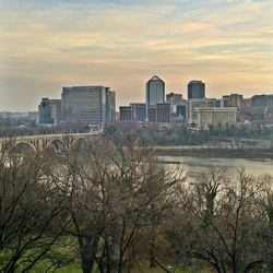
Rosslyn from Georgetown University Library
-
Stuarts Draft, Virginia above Wayne Avenue [02]
![Stuarts Draft, Virginia above Wayne Avenue [02] (2129 visits) View of Stuarts Draft, Virginia from above Wayne Avenue (VA-639).
Ben Schumin is a professional pho... Stuarts Draft, Virginia above Wayne Avenue [02]](../../../i/upload/2024/07/20/20240720094514-88dd2f1e-cu_s9999x250.jpg)
-
Stuarts Draft, Virginia above Wayne Avenue [01]
![Stuarts Draft, Virginia above Wayne Avenue [01] (3047 visits) View of Stuarts Draft, Virginia from above Wayne Avenue (VA-639).
Ben Schumin is a professional pho... Stuarts Draft, Virginia above Wayne Avenue [01]](../../../i/upload/2024/07/20/20240720094536-55029349-cu_s9999x250.jpg)
-
Stuarts Draft, Virginia above Wayne Avenue [03]
![Stuarts Draft, Virginia above Wayne Avenue [03] (2164 visits) View of Stuarts Draft, Virginia from above Wayne Avenue (VA-639).
Ben Schumin is a professional pho... Stuarts Draft, Virginia above Wayne Avenue [03]](../../../i/upload/2024/07/20/20240720094705-d02b94dc-cu_s9999x250.jpg)
-
Stuarts Draft, Virginia above Wayne Avenue [05]
![Stuarts Draft, Virginia above Wayne Avenue [05] (3064 visits) View of Stuarts Draft, Virginia from above Wayne Avenue (VA-639).
Ben Schumin is a professional pho... Stuarts Draft, Virginia above Wayne Avenue [05]](../../../i/upload/2024/07/20/20240720094711-10b1bf16-cu_s9999x250.jpg)
-
Stuarts Draft, Virginia above Wayne Avenue [04]
![Stuarts Draft, Virginia above Wayne Avenue [04] (3051 visits) View of Stuarts Draft, Virginia from above Wayne Avenue (VA-639).
Ben Schumin is a professional pho... Stuarts Draft, Virginia above Wayne Avenue [04]](../../../i/upload/2024/07/20/20240720094817-ef62e5b8-cu_s9999x250.jpg)
-
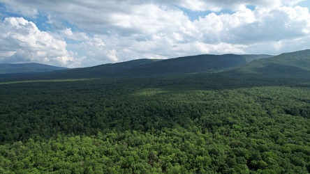
George Washington National Forest from above
-
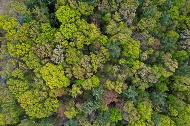
Trees near Cashtown, Pennsylvania
-
Field off of Buchanan Valley Road [01]
![Field off of Buchanan Valley Road [01] (1297 visits) Field off of Buchanan Valley Road near Cashtown, Pennsylvania.
Ben Schumin is a professional photog... Field off of Buchanan Valley Road [01]](../../../i/upload/2024/07/20/20240720151904-0d791d12-cu_s9999x250.jpg)
-
Field off of Buchanan Valley Road [02]
![Field off of Buchanan Valley Road [02] (1335 visits) Field off of Buchanan Valley Road near Cashtown, Pennsylvania.
Ben Schumin is a professional photog... Field off of Buchanan Valley Road [02]](../../../i/upload/2024/07/20/20240720151916-e473a17f-cu_s9999x250.jpg)
-
Aerial view over Lake Michigan, facing east
-
Aerial view from Clark Street Beach, facing south [01]
![Aerial view from Clark Street Beach, facing south [01] (1051 visits) Aerial view over Lake Michigan from near Clark Street Beach in Evanston, Illinois. View facing appr... Aerial view from Clark Street Beach, facing south [01]](../../../i/upload/2024/11/09/20241109111014-d364cdbf-cu_s9999x250.jpg)
-
Aerial view from Clark Street Beach, facing south [02]
![Aerial view from Clark Street Beach, facing south [02] (972 visits) Aerial view over Lake Michigan from near Clark Street Beach in Evanston, Illinois. View facing appr... Aerial view from Clark Street Beach, facing south [02]](../../../i/upload/2024/11/09/20241109111017-9276cd78-cu_s9999x250.jpg)
-
Aerial view from Clark Street Beach, facing south [03]
![Aerial view from Clark Street Beach, facing south [03] (2124 visits) Aerial view over Lake Michigan from near Clark Street Beach in Evanston, Illinois. View facing appr... Aerial view from Clark Street Beach, facing south [03]](../../../i/upload/2024/11/09/20241109111021-2a94ef25-cu_s9999x250.jpg)
-
Aerial view from Clark Street Beach, facing south [04]
![Aerial view from Clark Street Beach, facing south [04] (2207 visits) Aerial view over Lake Michigan from near Clark Street Beach in Evanston, Illinois. View facing appr... Aerial view from Clark Street Beach, facing south [04]](../../../i/upload/2024/11/09/20241109111026-85a83874-cu_s9999x250.jpg)
-
Aerial view from Clark Street Beach, facing south [05]
![Aerial view from Clark Street Beach, facing south [05] (986 visits) Aerial view over Lake Michigan from near Clark Street Beach in Evanston, Illinois. View facing appr... Aerial view from Clark Street Beach, facing south [05]](../../../i/upload/2024/11/09/20241109111030-e05630ba-cu_s9999x250.jpg)
-
Evanston, Illinois from over Lake Michigan [01]
![Evanston, Illinois from over Lake Michigan [01] (1756 visits) Aerial view of Evanston, Illinois from just offshore over Lake Michigan.
More at The Schumin Web:
w... Evanston, Illinois from over Lake Michigan [01]](../../../i/upload/2024/11/09/20241109111034-667fc1be-cu_s9999x250.jpg)
-
Evanston, Illinois from over Lake Michigan [02]
![Evanston, Illinois from over Lake Michigan [02] (2031 visits) Aerial view of Evanston, Illinois from just offshore over Lake Michigan.
More at The Schumin Web:
w... Evanston, Illinois from over Lake Michigan [02]](../../../i/upload/2024/11/09/20241109111037-b22de27b-cu_s9999x250.jpg)
-
Evanston, Illinois from over Lake Michigan [03]
![Evanston, Illinois from over Lake Michigan [03] (1927 visits) Aerial view of Evanston, Illinois from just offshore over Lake Michigan.
More at The Schumin Web:
w... Evanston, Illinois from over Lake Michigan [03]](../../../i/upload/2024/11/09/20241109111043-a48d7f52-cu_s9999x250.jpg)
-
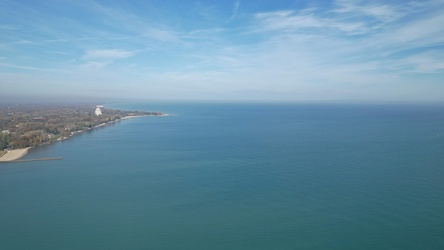
Aerial view of northern Evanston and Wilmette
-
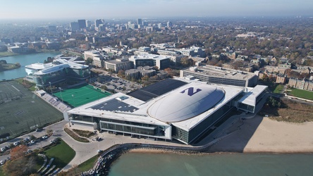
Henry Crown Sports Pavilion
-
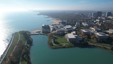
Southern portion of Northwestern University
-
Clark Street Beach [01]
![Clark Street Beach [01] (836 visits) Overhead view of Clark Street Beach, a public beach along the shore of Lake Michigan in Evanston, Il... Clark Street Beach [01]](../../../i/upload/2024/11/09/20241109111108-ba883fe6-cu_s9999x250.jpg)
-
Clark Street Beach [02]
![Clark Street Beach [02] (819 visits) Clark Street Beach, a public beach along the shore of Lake Michigan in Evanston, Illinois.
More at ... Clark Street Beach [02]](../../../i/upload/2024/11/09/20241109111115-aca79503-cu_s9999x250.jpg)
-
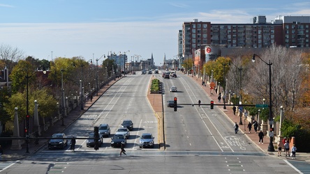
View west from Roosevelt platform
-
View east from Roosevelt platform
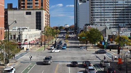
-
View from Sunset Park
