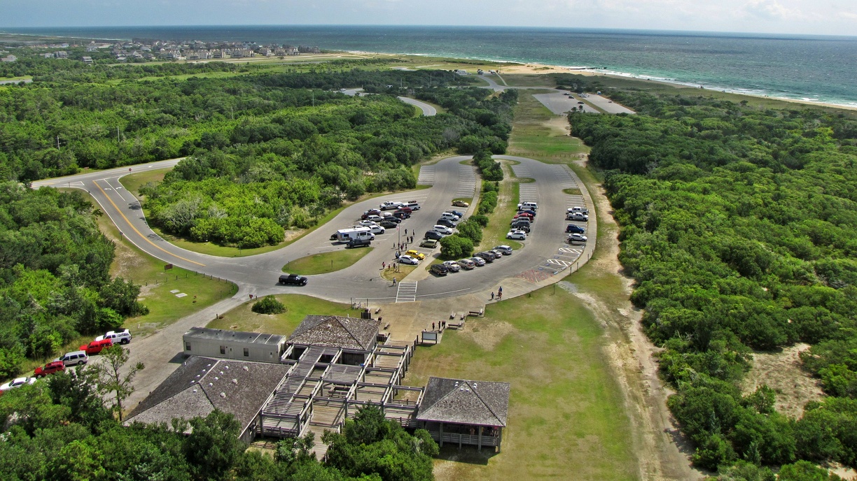
The path along which the Cape Hatteras Lighthouse was moved in 1999, as viewed from the lighthouse's balcony. The entire path was clear-cut for the lighthouse's move inland, and was not replanted following the move. The lighthouse's original location is visible in the distance, next to the ocean.
More at The Schumin Web:
www.schuminweb.com/life-and-times/life-2014/outer-banks-p...
Ben Schumin is a professional photographer who captures the intricacies of daily life. This image is all rights reserved. Contact me directly for licensing information.
More at The Schumin Web:
www.schuminweb.com/life-and-times/life-2014/outer-banks-p...
Ben Schumin is a professional photographer who captures the intricacies of daily life. This image is all rights reserved. Contact me directly for licensing information.
- Information
- Copyright
- All Rights Reserved
- Author
- Ben Schumin
- Created on
- Saturday 28 June 2014
- Dimensions
- 3648*2052
- Location
- View on OpenStreetMap
Location : 35.250525, -75.528827 - Keywords
- 2014, atlantic, Atlantic Ocean, banks, Beach, beaches, ben, buxton, cape, Cape Hatteras, Cape Hatteras National Seashore, carolina, clear, clear-cutting, clearcut, County, cut, cutting, dare, forest, forests, hatteras, house, houses, Island, june, light, lighthouse, lighthouses, move, moved, movement, moving, National, National Park Service, nc, north, North Carolina, NPS, obx, ocean, oceans, outer, Outer Banks, park, path, paths, pathway, pathways, schumin, schuminweb, seashore, Service, trees, way, ways, web, woods