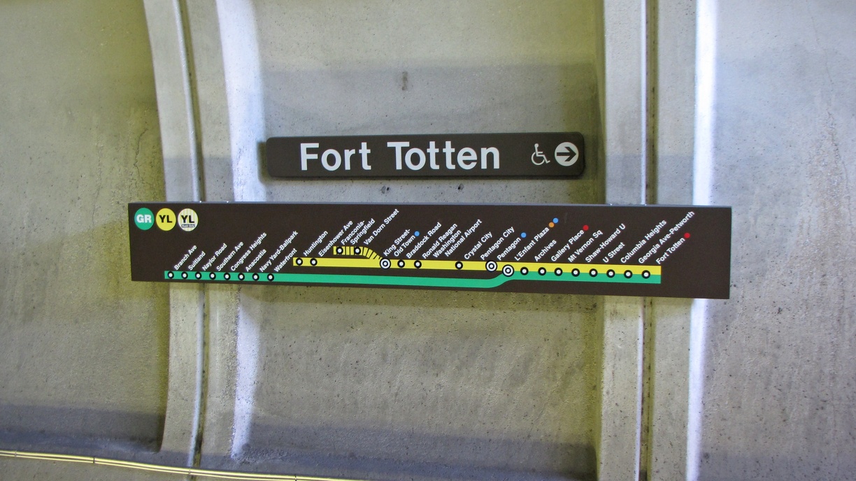
Wall signage on the lower level of Fort Totten station, for trains heading towards Branch Avenue, Huntington, and Franconia-Springfield.
Ben Schumin is a professional photographer who captures the intricacies of daily life. This image may be used under Creative Commons Attribution-ShareAlike 2.0. Please provide artist attribution, as well as a link to the original photo and to the license terms.
Ben Schumin is a professional photographer who captures the intricacies of daily life. This image may be used under Creative Commons Attribution-ShareAlike 2.0. Please provide artist attribution, as well as a link to the original photo and to the license terms.
- Information
- Author
- Ben Schumin
- Created on
- Saturday 22 September 2012
- Dimensions
- 3648*2052
- Location
- View on OpenStreetMap
Location : 38.951774, -77.003442 - Keywords
- 2012, arch, arches, area, authority, ben, cement, coffered, columbia, concrete, dc, district, east, Fort, Fort Totten, map, maps, metro, metropolitan, metrorail, NE, north, Northeast, plus, public, rapid, rush, schumin, schuminweb, september, sign, signage, signing, signs, station, stations, strip, subway, subways, system, totten, train, trains, transit, transport, transportation, wall, walls, washington, Washington Metropolitan Area Transit Authority, web, WMATA