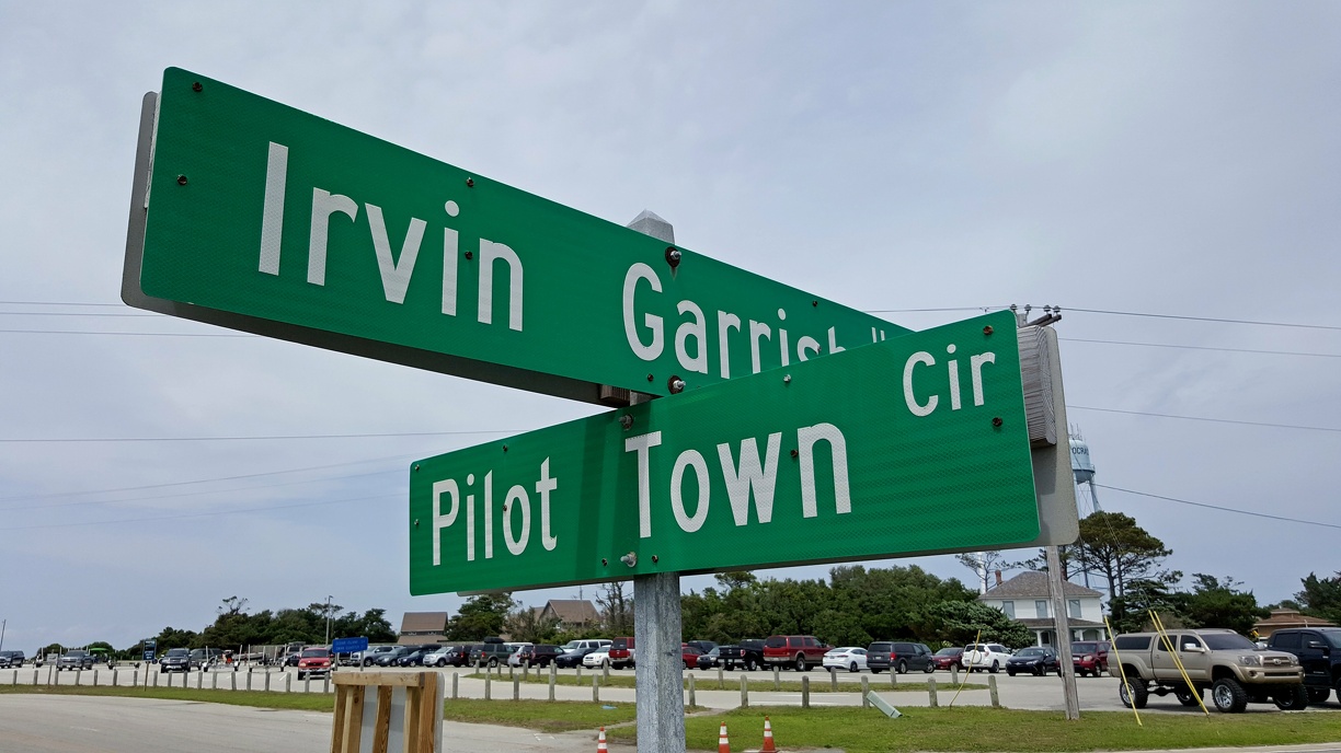
Street signs at the intersection of Irvin Garrish Highway (Route 12) and Pilot Town Circle in Ocracoke, North Carolina.
More at The Schumin Web:
www.schuminweb.com/life-and-times/life-2017/obx-2017-part-1/
Ben Schumin is a professional photographer who captures the intricacies of daily life. This image is all rights reserved. Contact me directly for licensing information.
More at The Schumin Web:
www.schuminweb.com/life-and-times/life-2017/obx-2017-part-1/
Ben Schumin is a professional photographer who captures the intricacies of daily life. This image is all rights reserved. Contact me directly for licensing information.
- Information
- Copyright
- All Rights Reserved
- Author
- Ben Schumin
- Created on
- Wednesday 31 May 2017
- Dimensions
- 5312*2988
- Location
- View on OpenStreetMap
Location : 35.116161, -75.985640 - Keywords
- 12, 2017, banks, Beach, Beach Road, ben, carolina, circle, clearview, County, garrish, green, high, highway, highways, hwy, hyde, irvin, Irvin Garrish, Island, may, nc, north, North Carolina, obx, ocracoke, Ocracoke Island, outer, Outer Banks, pilot, Pilot Town, road, roads, route, routes, rt, schumin, schuminweb, sign, signage, signs, state, street, Town, way, ways, web