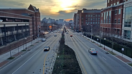
-
Intersection of US 340 and Lew Dewitt Blvd/Windigrove Drive [01]

![Intersection of US 340 and Lew Dewitt Blvd/Windigrove Drive [01] Aerial view of the intersection of US 340 with Lew Dewitt Blvd/Windigrove Drive in Waynesboro, Virgi... Intersection of US 340 and Lew Dewitt Blvd/Windigrove Drive [01]](../../../../../../i/upload/2025/07/31/20250731110329-3e977115-cu_s9999x250.jpg)
-
Intersection of US 340 and Lew Dewitt Blvd/Windigrove Drive [02]

![Intersection of US 340 and Lew Dewitt Blvd/Windigrove Drive [02] Aerial view of the intersection of US 340 with Lew Dewitt Blvd/Windigrove Drive in Waynesboro, Virgi... Intersection of US 340 and Lew Dewitt Blvd/Windigrove Drive [02]](../../../../../../i/upload/2025/07/31/20250731110341-6046959e-cu_s9999x250.jpg)
-
One way sign at Mary Baldwin University


-
Aerial view of downtown Culpeper, Virginia [01]
![Aerial view of downtown Culpeper, Virginia [01] (3 visits) Aerial view of downtown Culpeper, Virginia from above East Cameron Street between North Main Street ... Aerial view of downtown Culpeper, Virginia [01]](../../../../../../i/upload/2025/07/27/20250727175001-65de4991-cu_s9999x250.jpg)
-
Aerial view of downtown Culpeper, Virginia [02]
![Aerial view of downtown Culpeper, Virginia [02] (3 visits) Aerial view of downtown Culpeper, Virginia from above the intersection of South Main Street and West... Aerial view of downtown Culpeper, Virginia [02]](../../../../../../i/upload/2025/07/27/20250727175038-2ded6746-cu_s9999x250.jpg)
-
Intersection of US 29 and Hydraulic Road

-
Interstate 83 Business Loop shield [05]
![Interstate 83 Business Loop shield [05] (4 visits) Interstate 83 Business Loop shield along South George Street in York, Pennsylvania. Business Inters... Interstate 83 Business Loop shield [05]](../../../../../../i/upload/2025/07/27/20250727084715-fe927fec-cu_s9999x250.jpg)
-
Interstate 83 Business Loop shield [06]
![Interstate 83 Business Loop shield [06] (4 visits) Interstate 83 Business Loop shield along South George Street in York, Pennsylvania. Business Inters... Interstate 83 Business Loop shield [06]](../../../../../../i/upload/2025/07/27/20250727084751-5008a0a7-cu_s9999x250.jpg)
-
Intersection of East King and South Duke Streets

-
Tower on the Laurel-Rex Fire Company House

-
US 29 corridor north of Charlottesville, Virginia

-
US 340 and I-64 at sunset


-
Traffic signal in Glen Rock, Pennsylvania [02]
![Traffic signal in Glen Rock, Pennsylvania [02] (17 visits) Traffic signal mounted to a utility pole at the intersection of Main Street, Manchester Street, Hano... Traffic signal in Glen Rock, Pennsylvania [02]](../../../../../../i/upload/2025/07/27/20250727084443-5ac4b6d4-cu_s9999x250.jpg)
-
Traffic signal in Glen Rock, Pennsylvania [01]
![Traffic signal in Glen Rock, Pennsylvania [01] (19 visits) Traffic signal suspended from a wire over the intersection of Main Street, Manchester Street, Hanove... Traffic signal in Glen Rock, Pennsylvania [01]](../../../../../../i/upload/2025/07/27/20250727084407-b7af81b7-cu_s9999x250.jpg)
-
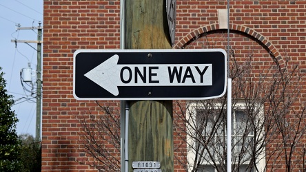
One way sign on West Frederick Street
-
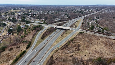
Interchange between Layhill Road and MD 200
-
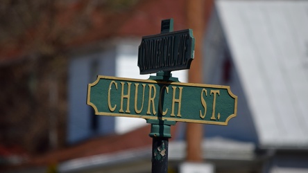
Street signs at Church Street and Commercial Avenue
-
Street signs at intersection of US 15 and Lucketts Road [02]
![Street signs at intersection of US 15 and Lucketts Road [02] (1818 visits) Street signs at the intersection of US 15 and Lucketts Road in Loudoun County, Virginia.
Ben Schumi... Street signs at intersection of US 15 and Lucketts Road [02]](../../../../../../i/upload/2024/07/19/20240719161623-789e37f5-cu_s9999x250.jpg)
-
No parking sign on Gathright Dam [02]
![No parking sign on Gathright Dam [02] (1818 visits) No parking sign on the road across Gathright Dam, an embankment dam in Alleghany County, Virginia th... No parking sign on Gathright Dam [02]](../../../../../../i/upload/2025/01/02/20250102213928-b14b8899-cu_s9999x250.jpg)
-
MD 200 east of Layhill Road interchange
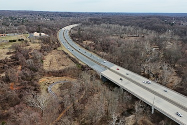
-
Street signs at intersection of US 15 and Lucketts Road [01]
![Street signs at intersection of US 15 and Lucketts Road [01] (1829 visits) Street signs at the intersection of US 15 and Lucketts Road in Loudoun County, Virginia.
Ben Schumi... Street signs at intersection of US 15 and Lucketts Road [01]](../../../../../../i/upload/2024/07/19/20240719161537-a75c3dac-cu_s9999x250.jpg)
-
16th and Buchanan Streets NW
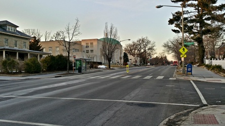
-
Anti-drone sign at Gathright Dam
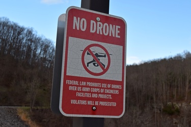
-
Shield for State Route 254 [01]
![Shield for State Route 254 [01] (1961 visits) Shield for State Route 254 on West Frederick Street in downtown Staunton, Virginia. This style of s... Shield for State Route 254 [01]](../../../../../../i/upload/2024/07/19/20240719160500-1fdaedc1-cu_s9999x250.jpg)
-
Sign for State Route 188 [01]
![Sign for State Route 188 [01] (1962 visits) Signage pointing the way to State Route 188 at the intersection of Church Street and Commercial Aven... Sign for State Route 188 [01]](../../../../../../i/upload/2024/07/20/20240720021810-3e9b4232-cu_s9999x250.jpg)
-
Shield for State Route 254 [02]
![Shield for State Route 254 [02] (1994 visits) Shield for State Route 254 on West Frederick Street in downtown Staunton, Virginia. This style of s... Shield for State Route 254 [02]](../../../../../../i/upload/2024/07/19/20240719160516-e72119d6-cu_s9999x250.jpg)
-
Springer Road
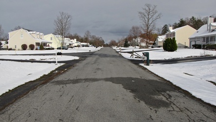
-
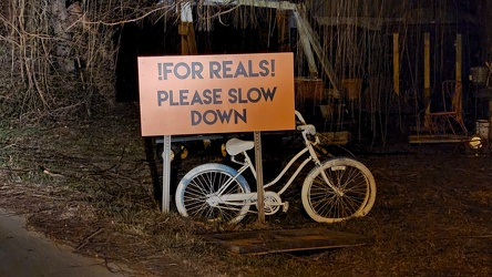
Ghost bike in Lucketts, Virginia
-
Forest Springs Drive [01]
![Forest Springs Drive [01] (2133 visits) Forest Springs Drive, a residential street in Stuarts Draft, Virginia, facing north, at its intersec... Forest Springs Drive [01]](../../../../../../i/upload/2024/07/17/20240717154858-173a58a4-cu_s9999x250.jpg)
-
Sign for State Route 188 [03]
![Sign for State Route 188 [03] (2192 visits) Signage pointing the way to State Route 188 at the intersection of Church Street and Commercial Aven... Sign for State Route 188 [03]](../../../../../../i/upload/2024/07/20/20240720021833-b69f59a5-cu_s9999x250.jpg)
-
Traffic light at Second and Locust Streets [02]
![Traffic light at Second and Locust Streets [02] (2223 visits) Traffic light at Second and Locust Streets in Harrisburg, Pennsylvania.
Ben Schumin is a profession... Traffic light at Second and Locust Streets [02]](../../../../../../i/upload/2024/07/19/20240719091409-df45f32a-cu_s9999x250.jpg)
-
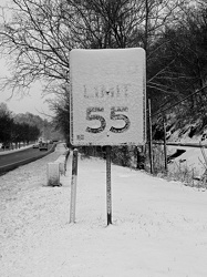
Snow-covered speed limit sign on US 250
-
Stop sign at Warrenton Volunteer Fire Company

-
Traffic signals at US 15 and Lucketts Road [02]
![Traffic signals at US 15 and Lucketts Road [02] (2291 visits) Traffic signals at the intersection of US 15 and Lucketts Road in Loudoun County, Virginia.
Ben Sch... Traffic signals at US 15 and Lucketts Road [02]](../../../../../../i/upload/2024/07/19/20240719161422-d1e94014-cu_s9999x250.jpg)
-
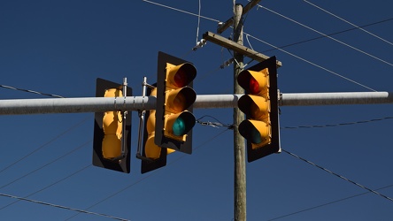
Traffic signals over Church Street and Commercial Avenue
-
Traffic light at Second and Locust Streets [01]
![Traffic light at Second and Locust Streets [01] (2325 visits) Traffic light at Second and Locust Streets in Harrisburg, Pennsylvania.
Ben Schumin is a profession... Traffic light at Second and Locust Streets [01]](../../../../../../i/upload/2024/07/19/20240719091401-04fcbed0-cu_s9999x250.jpg)
-
Sign for State Route 188 [02]
![Sign for State Route 188 [02] (2365 visits) Signage pointing the way to State Route 188 at the intersection of Church Street and Commercial Aven... Sign for State Route 188 [02]](../../../../../../i/upload/2024/07/20/20240720021827-a0810db1-cu_s9999x250.jpg)
-
Sign for State Route 188 [05]
![Sign for State Route 188 [05] (2378 visits) Signage pointing the way to State Route 188 at the intersection of Church Street and Commercial Aven... Sign for State Route 188 [05]](../../../../../../i/upload/2024/07/20/20240720021903-7bd9cd82-cu_s9999x250.jpg)
-
Sign for State Route 188 [06]
![Sign for State Route 188 [06] (2385 visits) Signage pointing the way to State Route 188 at the intersection of Church Street and Commercial Aven... Sign for State Route 188 [06]](../../../../../../i/upload/2024/07/20/20240720021915-40479437-cu_s9999x250.jpg)
-
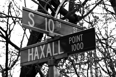
South 10th Street and Haxall Point
-
No parking sign at Warrenton Volunteer Fire Company [01]
![No parking sign at Warrenton Volunteer Fire Company [01] (2396 visits) No parking sign in the parking lot for the Warrenton Volunteer Fire Company in Warrenton, Virginia.
... No parking sign at Warrenton Volunteer Fire Company [01]](../../../../../../i/upload/2024/07/19/20240719160015-64cf99bd-cu_s9999x250.jpg)
-
Sign for State Route 188 [04]
![Sign for State Route 188 [04] (2410 visits) Signage pointing the way to State Route 188 at the intersection of Church Street and Commercial Aven... Sign for State Route 188 [04]](../../../../../../i/upload/2024/07/20/20240720021852-b244dda6-cu_s9999x250.jpg)
-
No parking sign at Warrenton Volunteer Fire Company [02]
![No parking sign at Warrenton Volunteer Fire Company [02] (2419 visits) No parking sign in the parking lot for the Warrenton Volunteer Fire Company in Warrenton, Virginia.
... No parking sign at Warrenton Volunteer Fire Company [02]](../../../../../../i/upload/2024/07/19/20240719160024-bdf856b7-cu_s9999x250.jpg)
-
US 220 south of Monterey, Virginia
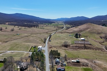
-
US 250 west of Monterey, Virginia
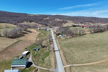
-
Traffic light at Third and Walnut Streets
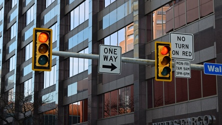
-
US 220 north of Monterey, Virginia
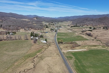
-
North end of Monterey, Virginia
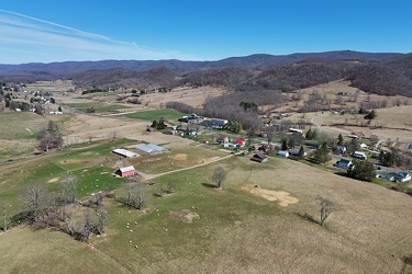
-
Fog on Hewitt Avenue
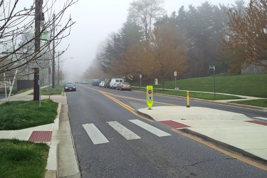
-
Intersection of Springer Road and Forest Springs Drive
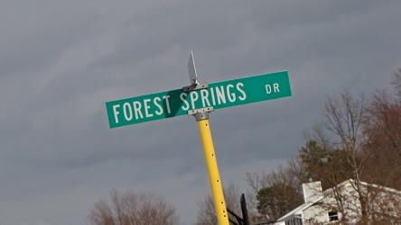
-
HAWK beacon at 16th and Jonquil Streets NW [01]
![HAWK beacon at 16th and Jonquil Streets NW [01] (2536 visits) HAWK beacon at the intersection of 16th and Jonquil Streets NW in Washington, DC. This HAWK beacon ... HAWK beacon at 16th and Jonquil Streets NW [01]](../../../../../../i/upload/2024/07/18/20240718213612-9bd5f770-cu_s9999x250.jpg)
-
"Art of Noise" sticker on a no parking sign

-
Snow-covered mileage sign on US 250
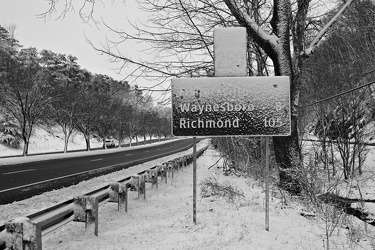
-
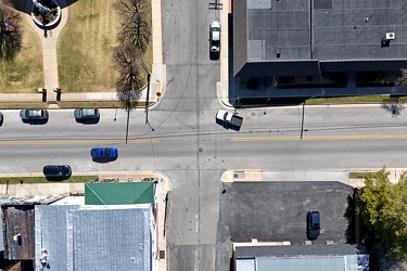
Intersection of US 250 and Spruce Street
-
HAWK beacon at 16th and Jonquil Streets NW [02]
![HAWK beacon at 16th and Jonquil Streets NW [02] (2662 visits) HAWK beacon at the intersection of 16th and Jonquil Streets NW in Washington, DC. This HAWK beacon ... HAWK beacon at 16th and Jonquil Streets NW [02]](../../../../../../i/upload/2024/07/18/20240718213616-8216b42d-cu_s9999x250.jpg)
-
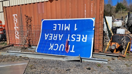
Truck rest area sign
-
Aerial view of Monterey, Virginia [06]
![Aerial view of Monterey, Virginia [06] (2726 visits) Aerial view of Monterey, Virginia, a small town comprising the seat of Highland County.
More at The... Aerial view of Monterey, Virginia [06]](../../../../../../i/upload/2025/01/02/20250102005956-29786301-cu_s9999x250.jpg)
-
Interstate 64 at Rockfish Gap [02]
![Interstate 64 at Rockfish Gap [02] (2730 visits) Interstate 64 at Rockfish Gap, viewed from the bridge to Skyline Drive at milepost 99, facing west.
... Interstate 64 at Rockfish Gap [02]](../../../../../../i/upload/2024/07/17/20240717224221-105e5513-cu_s9999x250.jpg)
-
Aerial view of Monterey, Virginia [03]
![Aerial view of Monterey, Virginia [03] (2753 visits) Aerial view of Monterey, Virginia, a small town comprising the seat of Highland County.
More at The... Aerial view of Monterey, Virginia [03]](../../../../../../i/upload/2025/01/02/20250102005929-2e84a9d0-cu_s9999x250.jpg)
-
Traffic signals at US 15 and Lucketts Road [01]
![Traffic signals at US 15 and Lucketts Road [01] (2758 visits) Traffic signals at the intersection of US 15 and Lucketts Road in Loudoun County, Virginia.
Ben Sch... Traffic signals at US 15 and Lucketts Road [01]](../../../../../../i/upload/2024/07/19/20240719161531-79fec9f3-cu_s9999x250.jpg)
-
Routes 220 and 39 in Warm Springs, Virginia [01]
![Routes 220 and 39 in Warm Springs, Virginia [01] (2774 visits) US 220 and VA 39 in Warm Springs, Virginia, facing southwest. In this shot, US 220 runs top to bott... Routes 220 and 39 in Warm Springs, Virginia [01]](../../../../../../i/upload/2025/01/02/20250102141310-79aa8afd-cu_s9999x250.jpg)
-
Road over Gathright Dam [02]
![Road over Gathright Dam [02] (2775 visits) Road carrying traffic over Gathright Dam, an earthen and rolled rock-fill embankment dam on the Jack... Road over Gathright Dam [02]](../../../../../../i/upload/2024/07/14/20240714102132-396c8a23-cu_s9999x250.jpg)
-
Aerial view of Monterey, Virginia [04]
![Aerial view of Monterey, Virginia [04] (2790 visits) Aerial view of Monterey, Virginia, a small town comprising the seat of Highland County.
More at The... Aerial view of Monterey, Virginia [04]](../../../../../../i/upload/2025/01/02/20250102005937-281fae65-cu_s9999x250.jpg)
-
Interstate 64 at Rockfish Gap [02]
![Interstate 64 at Rockfish Gap [02] (2797 visits) Interstate 64 at Rockfish Gap, viewed from the bridge to Skyline Drive at milepost 99, facing east.
... Interstate 64 at Rockfish Gap [02]](../../../../../../i/upload/2024/07/17/20240717224209-142db162-cu_s9999x250.jpg)
-
Aerial view of Monterey, Virginia [02]
![Aerial view of Monterey, Virginia [02] (2804 visits) Aerial view of Monterey, Virginia, a small town comprising the seat of Highland County.
More at The... Aerial view of Monterey, Virginia [02]](../../../../../../i/upload/2025/01/02/20250102005923-7f7b9b83-cu_s9999x250.jpg)
-
Aerial view of Monterey, Virginia [01]
![Aerial view of Monterey, Virginia [01] (2816 visits) Aerial view of Monterey, Virginia, a small town comprising the seat of Highland County.
More at The... Aerial view of Monterey, Virginia [01]](../../../../../../i/upload/2025/01/02/20250102005918-685606f9-cu_s9999x250.jpg)
-
Routes 220 and 39 in Warm Springs, Virginia [02]
![Routes 220 and 39 in Warm Springs, Virginia [02] (2841 visits) US 220 and VA 39 in Warm Springs, Virginia, facing southwest. In this shot, US 220 is the road to t... Routes 220 and 39 in Warm Springs, Virginia [02]](../../../../../../i/upload/2025/01/02/20250102141319-a5501ace-cu_s9999x250.jpg)
-
Interchange between VA 262 and Old Greenville Road [01]
![Interchange between VA 262 and Old Greenville Road [01] (2865 visits) Cloverleaf interchange between Virginia State Route 262 and Old Greenville Road (VA 613) near Staunt... Interchange between VA 262 and Old Greenville Road [01]](../../../../../../i/upload/2025/01/03/20250103172609-68b43692-cu_s9999x250.jpg)
-
Aerial view of Monterey, Virginia [05]
![Aerial view of Monterey, Virginia [05] (2873 visits) Aerial view of Monterey, Virginia, a small town comprising the seat of Highland County.
More at The... Aerial view of Monterey, Virginia [05]](../../../../../../i/upload/2025/01/02/20250102005946-79efaa38-cu_s9999x250.jpg)
-
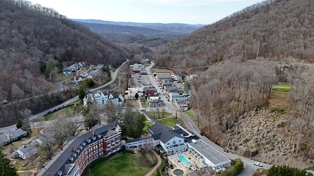
Aerial view of Hot Springs, Virginia
-
Interstate 64 at Rockfish Gap [01]
![Interstate 64 at Rockfish Gap [01] (2913 visits) Interstate 64 at Rockfish Gap, viewed from the bridge to Skyline Drive at milepost 99, facing east.
... Interstate 64 at Rockfish Gap [01]](../../../../../../i/upload/2024/07/17/20240717224207-b7307f80-cu_s9999x250.jpg)
-
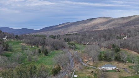
View along US 220 northbound in Hot Springs, Virginia
-
Interchange between VA 262 and Old Greenville Road [02]
![Interchange between VA 262 and Old Greenville Road [02] (2964 visits) Cloverleaf interchange between Virginia State Route 262 and Old Greenville Road (VA 613) near Staunt... Interchange between VA 262 and Old Greenville Road [02]](../../../../../../i/upload/2025/01/03/20250103172620-c2bd2a46-cu_s9999x250.jpg)
-
Road over Gathright Dam [01]
![Road over Gathright Dam [01] (2979 visits) Road carrying traffic over Gathright Dam, an earthen and rolled rock-fill embankment dam on the Jack... Road over Gathright Dam [01]](../../../../../../i/upload/2024/07/14/20240714102138-0aa862c7-cu_s9999x250.jpg)
-
Wildfire in Wheatfield, Virginia [02]
![Wildfire in Wheatfield, Virginia [02] (3016 visits) A wildfire burns just beyond the trees in Wheatfield, Virginia. View from Brooklee Ridge Lane.
Mor... Wildfire in Wheatfield, Virginia [02]](../../../../../../i/upload/2024/12/26/20241226095727-426cf00c-cu_s9999x250.jpg)
-
Wildfire in Wheatfield, Virginia [01]
![Wildfire in Wheatfield, Virginia [01] (3161 visits) A wildfire burns just beyond the trees in Wheatfield, Virginia. View from Brooklee Ridge Lane.
Mor... Wildfire in Wheatfield, Virginia [01]](../../../../../../i/upload/2024/12/26/20241226095723-0924c1da-cu_s9999x250.jpg)
-
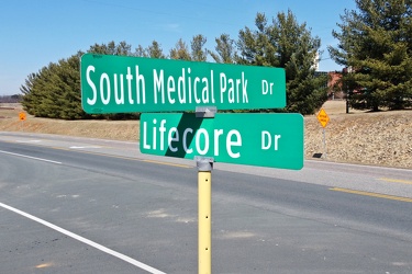
Intersection of South Medical Park Drive and Lifecore Drive
-
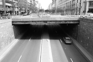
K Street under Washington Circle
-
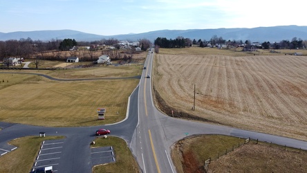
Tinkling Spring Road at Churchmans Mill Road
-
Orleans Street
