-
Downtown Waynesboro, facing west [02]
![Downtown Waynesboro, facing west [02] (1705 visits) West Main Street in downtown Waynesboro, Virginia, facing west.
Ben Schumin is a professional photo... Downtown Waynesboro, facing west [02]](../../../../../i/upload/2024/07/15/20240715141245-a64ec632-cu_s9999x250.jpg)
-
Downtown Waynesboro, facing west [01]
![Downtown Waynesboro, facing west [01] (1745 visits) West Main Street in downtown Waynesboro, Virginia, facing west.
Ben Schumin is a professional photo... Downtown Waynesboro, facing west [01]](../../../../../i/upload/2024/07/15/20240715141249-3c569b80-cu_s9999x250.jpg)
-
Downtown Waynesboro, facing west [03]
![Downtown Waynesboro, facing west [03] (1893 visits) West Main Street in downtown Waynesboro, Virginia, facing west.
Ben Schumin is a professional photo... Downtown Waynesboro, facing west [03]](../../../../../i/upload/2024/07/15/20240715141241-78ca2bee-cu_s9999x250.jpg)
-
Traffic light at Second and Locust Streets [02]
![Traffic light at Second and Locust Streets [02] (2161 visits) Traffic light at Second and Locust Streets in Harrisburg, Pennsylvania.
Ben Schumin is a profession... Traffic light at Second and Locust Streets [02]](../../../../../i/upload/2024/07/19/20240719091409-df45f32a-cu_s9999x250.jpg)
-
Quiet Zone sign [02]
![Quiet Zone sign [02] (2198 visits) "Quiet Zone" sign on 15th Street NW near the intersection with U Street NW in Washington, ... Quiet Zone sign [02]](../../../../../i/upload/2024/07/14/20240714235148-5a395ee7-cu_s9999x250.jpg)
-
Benning Road NE at Ethel Kennedy Bridge [02]
![Benning Road NE at Ethel Kennedy Bridge [02] (2208 visits) Benning Road NE, facing west, viewed from the median on the Ethel Kennedy Bridge.
Ben Schumin is a ... Benning Road NE at Ethel Kennedy Bridge [02]](../../../../../i/upload/2024/07/19/20240719090733-9625d547-cu_s9999x250.jpg)
-
Traffic light at Second and Locust Streets [01]
![Traffic light at Second and Locust Streets [01] (2269 visits) Traffic light at Second and Locust Streets in Harrisburg, Pennsylvania.
Ben Schumin is a profession... Traffic light at Second and Locust Streets [01]](../../../../../i/upload/2024/07/19/20240719091401-04fcbed0-cu_s9999x250.jpg)
-
Benning Road NE at Ethel Kennedy Bridge [01]
![Benning Road NE at Ethel Kennedy Bridge [01] (2342 visits) Benning Road NE, facing west, viewed from the median on the Ethel Kennedy Bridge.
Ben Schumin is a ... Benning Road NE at Ethel Kennedy Bridge [01]](../../../../../i/upload/2024/07/19/20240719090729-a6bef2cd-cu_s9999x250.jpg)
-
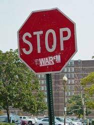
"STOP WAR"
-
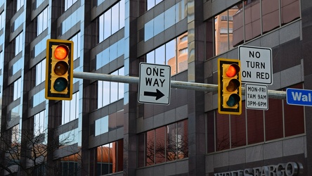
Traffic light at Third and Walnut Streets
-
Downtown Waynesboro, Virginia [02]
![Downtown Waynesboro, Virginia [02] (2412 visits) Downtown Waynesboro, Virginia, looking east down West Main Street, viewed from near Augusta Cleaners... Downtown Waynesboro, Virginia [02]](../../../../../i/upload/2024/07/15/20240715141255-6a81b88f-cu_s9999x250.jpg)
-
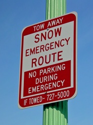
Snow emergency route sign
-
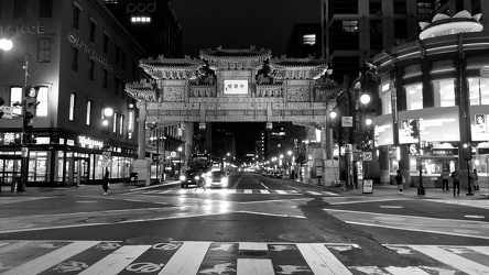
Friendship Archway
-
Quiet Zone sign [01]
![Quiet Zone sign [01] (2570 visits) "Quiet Zone" sign on 15th Street NW near the intersection with U Street NW in Washington, ... Quiet Zone sign [01]](../../../../../i/upload/2024/07/14/20240714234400-d001258c-cu_s9999x250.jpg)
-
Intersection of Main Street and Madbury Road [01]
![Intersection of Main Street and Madbury Road [01] (2578 visits) Street signs at the intersection of Main Street and Madbury Road in Durham, New Hampshire.
Altern... Intersection of Main Street and Madbury Road [01]](../../../../../i/upload/2024/07/16/20240716232355-bf080551-cu_s9999x250.jpg)
-
Reconstruction of Route 608 [01]
![Reconstruction of Route 608 [01] (2588 visits) Reconstruction of Virginia state secondary route 608 (Cold Springs Road) in Stuarts Draft, Virginia,... Reconstruction of Route 608 [01]](../../../../../i/upload/2024/07/15/20240715141237-c5553921-cu_s9999x250.jpg)
-
Intersection of Main Street and Madbury Road [02]
![Intersection of Main Street and Madbury Road [02] (2597 visits) Street signs at the intersection of Main Street and Madbury Road in Durham, New Hampshire.
Altern... Intersection of Main Street and Madbury Road [02]](../../../../../i/upload/2024/07/16/20240716232403-0d9e8a73-cu_s9999x250.jpg)
-
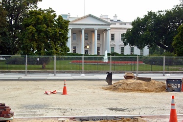
Reconstruction of Pennsylvania Avenue NW
-
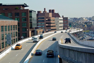
Whitehurst Freeway
-
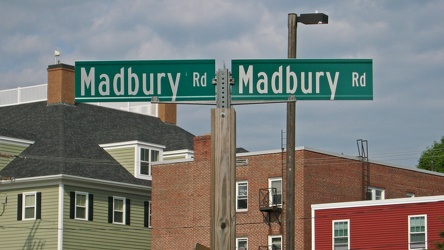
Madbury Road street signs
-
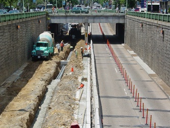
Reconstruction of Connecticut Avenue under Dupont Circle
-
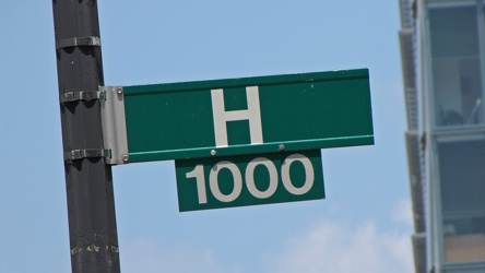
H Street NW street sign
-
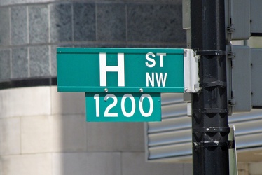
1200 block of H Street NW
-
Traffic light along M Street NW
-
Picnic table at New Market rest area, I-81 northbound [01]
![Picnic table at New Market rest area, I-81 northbound [01] (2927 visits) Picnic table at the rest area on Interstate 81 northbound, near New Market, Virginia.
Ben Schumin i... Picnic table at New Market rest area, I-81 northbound [01]](../../../../../i/upload/2024/07/15/20240715214504-0bd029bd-cu_s9999x250.jpg)
-
Road over Gathright Dam [01]
![Road over Gathright Dam [01] (2949 visits) Road carrying traffic over Gathright Dam, an earthen and rolled rock-fill embankment dam on the Jack... Road over Gathright Dam [01]](../../../../../i/upload/2024/07/14/20240714102138-0aa862c7-cu_s9999x250.jpg)
-
Bench at New Market rest area [01]
![Bench at New Market rest area [01] (2962 visits) Bench at the rest area on Interstate 81 northbound, near New Market, Virginia.
Alternate treatmen... Bench at New Market rest area [01]](../../../../../i/upload/2024/07/15/20240715214502-89d88a56-cu_s9999x250.jpg)
-
Bench at New Market rest area [02]
![Bench at New Market rest area [02] (2977 visits) Bench at the rest area on Interstate 81 northbound, near New Market, Virginia.
Alternate treatmen... Bench at New Market rest area [02]](../../../../../i/upload/2024/07/15/20240715214500-d6effc3b-cu_s9999x250.jpg)
-
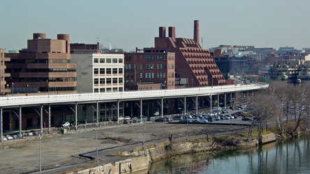
Georgetown from Key Bridge
-
Reconstruction of Route 608 [02]
![Reconstruction of Route 608 [02] (3001 visits) Reconstruction of Virginia state secondary route 608 (Cold Springs Road) in Stuarts Draft, Virginia,... Reconstruction of Route 608 [02]](../../../../../i/upload/2024/07/15/20240715141235-c8d9fd1b-cu_s9999x250.jpg)
-
Picnic table at New Market rest area, I-81 northbound [02]
![Picnic table at New Market rest area, I-81 northbound [02] (3008 visits) Picnic table at the rest area on Interstate 81 northbound, near New Market, Virginia.
Ben Schumin i... Picnic table at New Market rest area, I-81 northbound [02]](../../../../../i/upload/2024/07/15/20240715214459-0df29e63-cu_s9999x250.jpg)
-
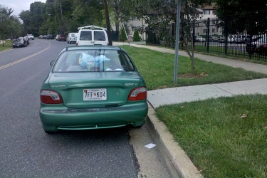
Illegal parking at bus stop
-
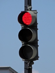
Traffic signal at 15th and G Streets NW
-
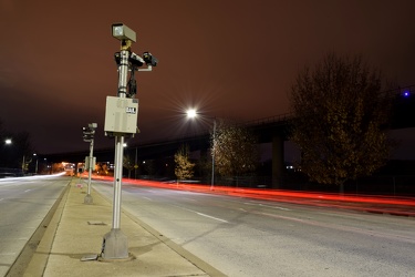
Speed cameras on Benning Road NE
-
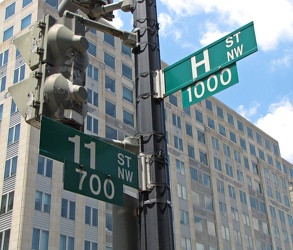
11th and H Streets NW
-
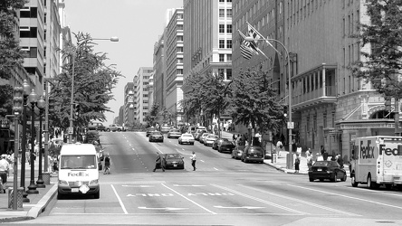
500 block of 13th Street NW
-
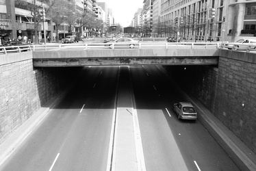
K Street under Washington Circle
-
Speed camera on Benning Road NE [02]
![Speed camera on Benning Road NE [02] (3215 visits) Box-style speed camera monitoring eastbound traffic on Benning Road NE.
Ben Schumin is a profession... Speed camera on Benning Road NE [02]](../../../../../i/upload/2024/07/19/20240719090749-91cc6b64-cu_s9999x250.jpg)
-
Speed camera on Benning Road NE [01]
![Speed camera on Benning Road NE [01] (3247 visits) Box-style speed camera monitoring eastbound traffic on Benning Road NE.
Ben Schumin is a profession... Speed camera on Benning Road NE [01]](../../../../../i/upload/2024/07/19/20240719090737-595ded57-cu_s9999x250.jpg)
-
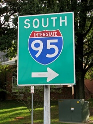
Interstate 95 sign at Maryland House
-
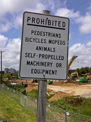
Virginia freeway prohibition sign
-
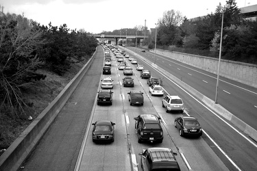
Westbound Interstate 66 near Nutley Street
-
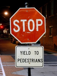
Stop sign on 2nd Street SW
-
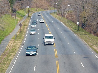
Rock Creek and Potomac Parkway
-
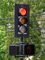
Traffic light at Main Street and Dover Road
-
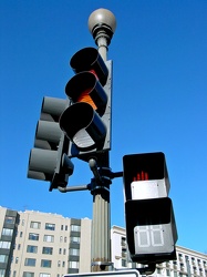
Traffic signal in Scott Circle
-
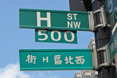
500 block of H Street NW
-
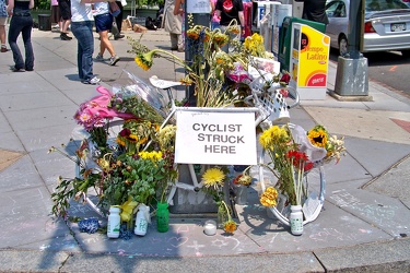
Alice Swanson ghost bike
-
No parking sign on Gathright Dam [01]
![No parking sign on Gathright Dam [01] (3638 visits) "No parking" sign on the road over Gathright Dam. Parking is prohibited on the dam itself... No parking sign on Gathright Dam [01]](../../../../../i/upload/2024/07/14/20240714102141-459f947d-cu_s9999x250.jpg)
-
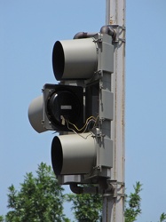
Traffic signal with yellow aspect open
-
View from Old Post Office Tower
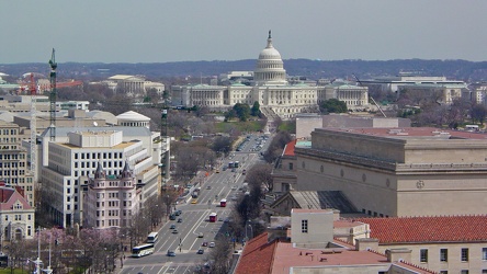
-
Lane ending sign on Benning Road NE
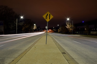
-
Chestnut Street and Hickory Avenue
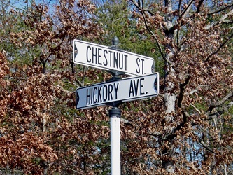
-
Triborough Bridge
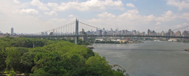
-
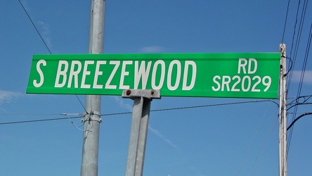
South Breezewood Road
-
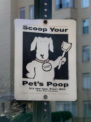
"Scoop Your Pet's Poop"
-
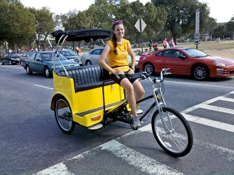
Pedicab operator in DC
-
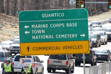
Road sign at intersection of US 1 and Joplin and Fuller Roads
-
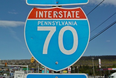
Interstate 70 shield
-
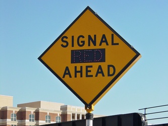
SIGNAL (RED) AHEAD
-
Camera on tripod photographing Benning Road NE [02]
![Camera on tripod photographing Benning Road NE [02] (4176 visits) Nikon D5300 SLR on a tripod in the median of Benning Road NE.
Ben Schumin is a professional photogr... Camera on tripod photographing Benning Road NE [02]](../../../../../i/upload/2024/07/19/20240719090725-359408fa-cu_s9999x250.jpg)
-
Baltimore-area traffic on Interstate 95 southbound [02]
![Baltimore-area traffic on Interstate 95 southbound [02] (4194 visits) Rush hour traffic on Interstate 95 southbound in Baltimore, Maryland.
Ben Schumin is a professional... Baltimore-area traffic on Interstate 95 southbound [02]](../../../../../i/upload/2024/07/16/20240716002700-59eb8782-cu_s9999x250.jpg)
-
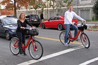
Capital Bikeshare riders on P Street NW
-
Mileage sign on US 30 in Breezewood [01]
![Mileage sign on US 30 in Breezewood [01] (4371 visits) Mileage sign on eastbound US 30 in Breezewood, Pennsylvania, indicating that McConnellsburg is 18 mi... Mileage sign on US 30 in Breezewood [01]](../../../../../i/upload/2024/07/15/20240715141320-6d6dc511-cu_s9999x250.jpg)
-
Baltimore-area traffic on Interstate 95 southbound [01]
![Baltimore-area traffic on Interstate 95 southbound [01] (4405 visits) Rush hour traffic on Interstate 95 southbound in Baltimore, Maryland.
Ben Schumin is a professional... Baltimore-area traffic on Interstate 95 southbound [01]](../../../../../i/upload/2024/07/16/20240716002655-05b94d1e-cu_s9999x250.jpg)
-
View from Sears Tower [01]
![View from Sears Tower [01] (4565 visits) View from the Sears Tower (now the Willis Tower) in Chicago, Illinois, facing south.
Ben Schumin is... View from Sears Tower [01]](../../../../../i/upload/2024/07/15/20240715204843-857040c7-cu_s9999x250.jpg)
-
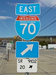
Sign for Interstate 70 eastbound
-
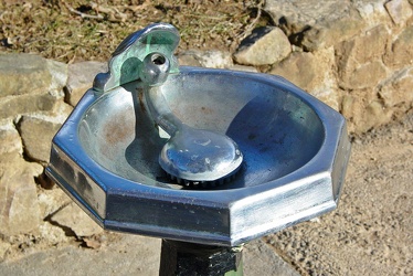
Water fountain at Troutville rest area
-
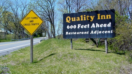
Signs on US 30 outside Breezewood
-
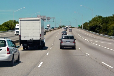
Interstate 64 westbound in Hampton, Virginia
-
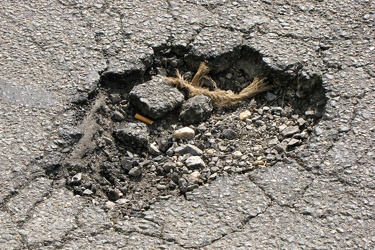
Pothole on 20th Street NW
-
Downtown Expressway
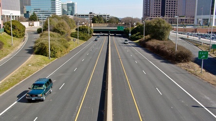
-
US 29 shield on Rhode Island Avenue NW [01]
![US 29 shield on Rhode Island Avenue NW [01] (4723 visits) Shield for southbound US 29 on a lamppost at the intersection of Rhode Island Avenue and 9th Street ... US 29 shield on Rhode Island Avenue NW [01]](../../../../../i/upload/2024/07/14/20240714234551-7fead61b-cu_s9999x250.jpg)
-
Intersection of John and Front Streets
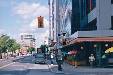
-
Swift truck entering turnpike
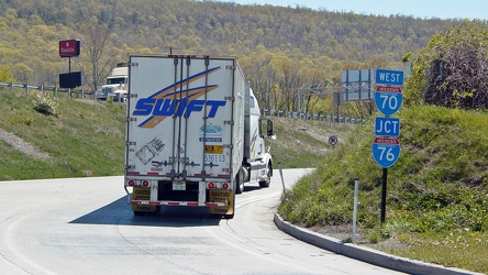
-
Hampton Roads Bridge-Tunnel, westbound [04]
![Hampton Roads Bridge-Tunnel, westbound [04] (5086 visits) East portal of the Hampton Roads Bridge Tunnel on the westbound side.
More at The Schumin Web:
www.... Hampton Roads Bridge-Tunnel, westbound [04]](../../../../../i/upload/2024/07/14/20240714234959-48ab2d91-cu_s9999x250.jpg)
-
Dulles Toll Road eastern plaza
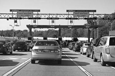
-
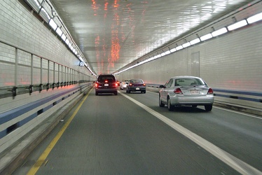
Hampton Roads Bridge-Tunnel, westbound tube
-
US 29 shield on Rhode Island Avenue NW [02]
![US 29 shield on Rhode Island Avenue NW [02] (5108 visits) Shield for southbound US 29 on a lamppost at the intersection of Rhode Island Avenue and 9th Street ... US 29 shield on Rhode Island Avenue NW [02]](../../../../../i/upload/2024/07/14/20240714234553-282ce97c-cu_s9999x250.jpg)
-
Hampton Roads Bridge-Tunnel, westbound [05]
![Hampton Roads Bridge-Tunnel, westbound [05] (5138 visits) Westbound traffic exits the west portal of the Hampton Roads Bridge-Tunnel.
More at The Schumin Web... Hampton Roads Bridge-Tunnel, westbound [05]](../../../../../i/upload/2024/07/14/20240714234958-245d8a80-cu_s9999x250.jpg)